
Deformation Monitoring
GNSS based monitoring system
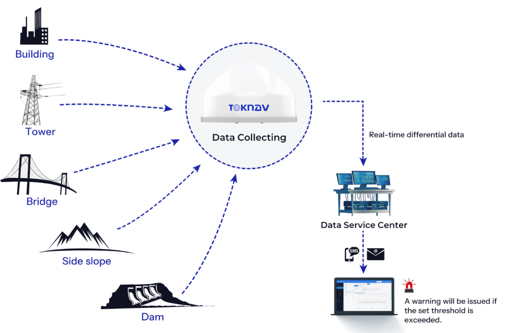
The GNSS based monitoring system is widely applied in the fields of landslide geological hazard monitoring, dam deformation monitoring, mining area surface subsidence monitoring, tailings reservoir deformation monitoring, bridge deformation monitoring and high-rise building deformation monitoring and other fields with potential safety hazards.
System Architecture
System Characteristics

Millimeter-level accuracy
The platform solves the data with stability, high precision and small error.

High real-time

Rich forms of alarm
The early warning release method is flexible, and the early warning is sent and received by email, SMS, WeChat, etc.

Long-range control & management
Support remote devices on the platform to restart, set, upgrade and other operations.

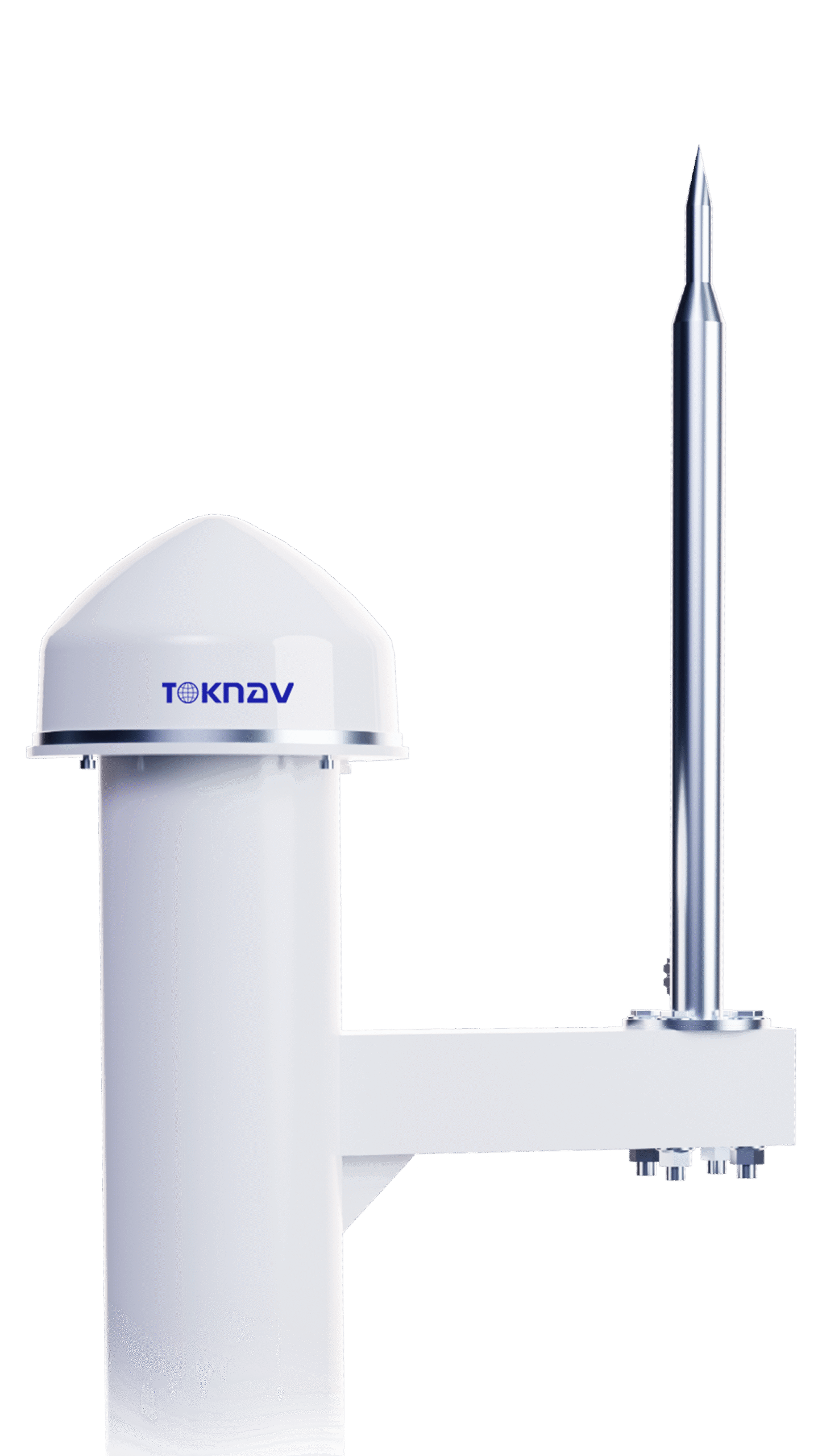
High-performance antenna

All weather operation
In severe weather such as thunder and rainstorm, it can run stably and has strong lightning protection and anti-interference performance.
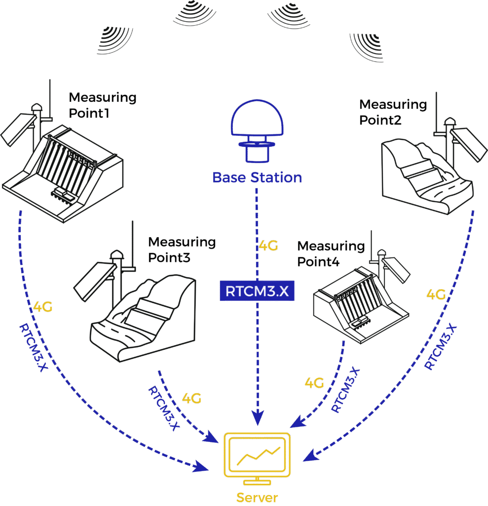
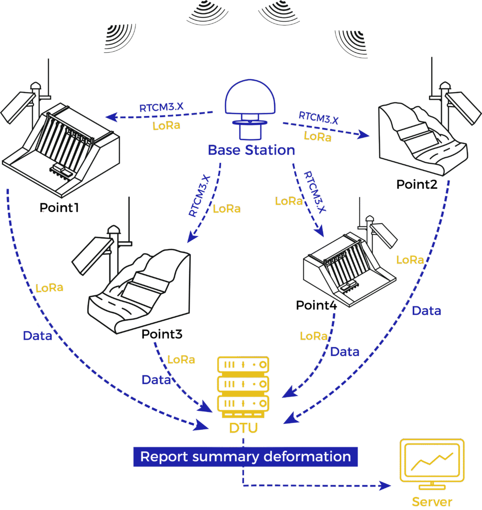
Solution Schematic Diagram
Back-end Calculation Solution
Front-end Calculation Solution
Application Area

Automatic Monitoring of Geological Hazards
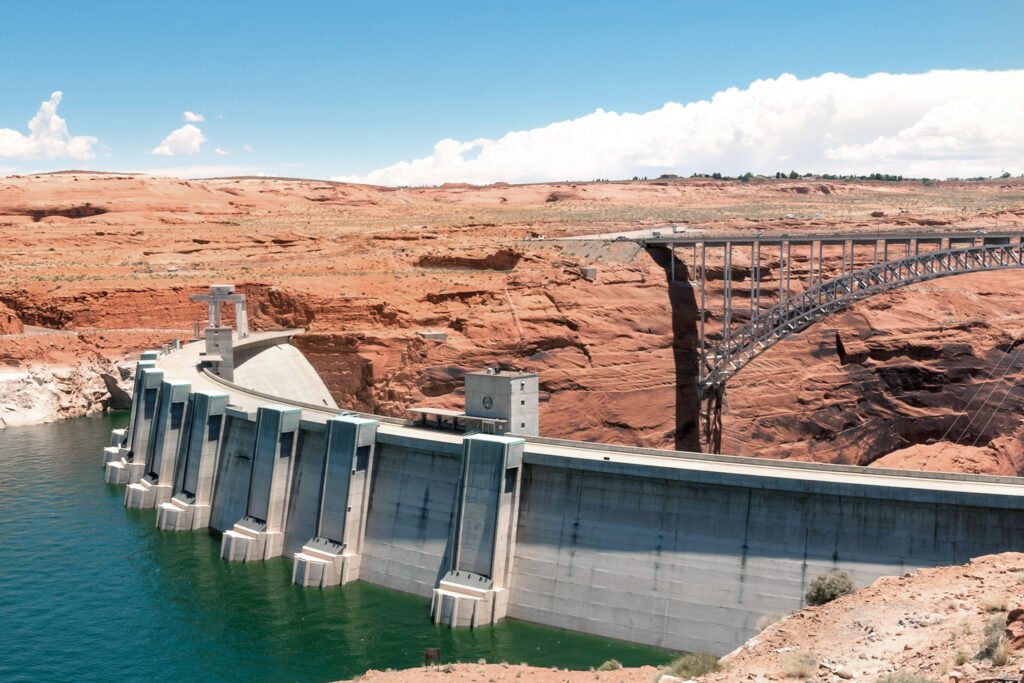
Automatic Monitoring of Geological Hazards
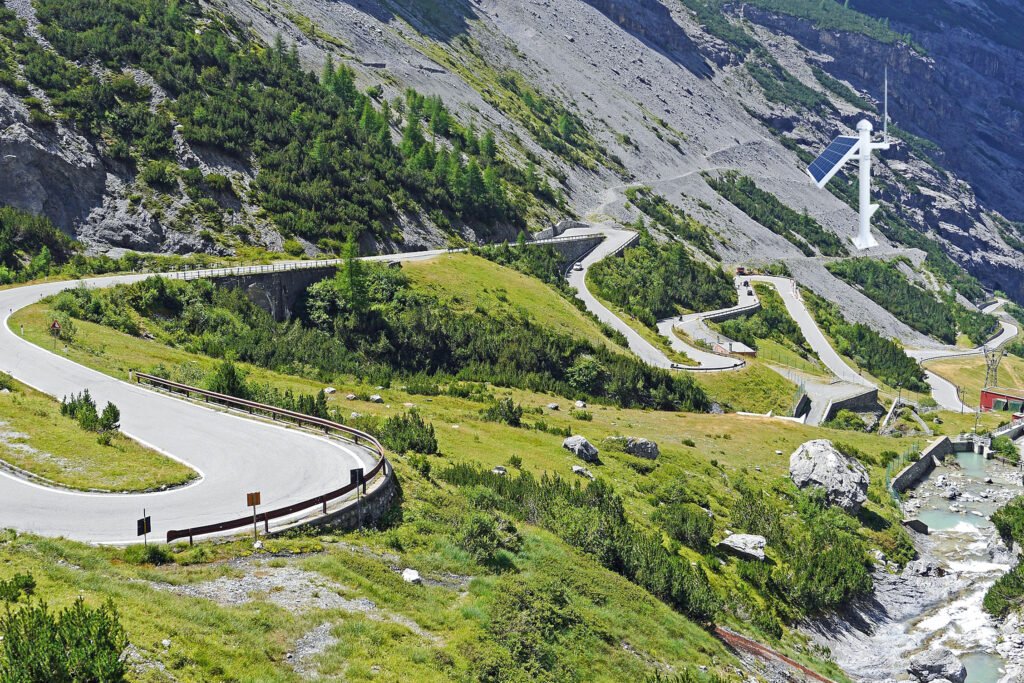
Automatic Monitoring of Geological Hazards
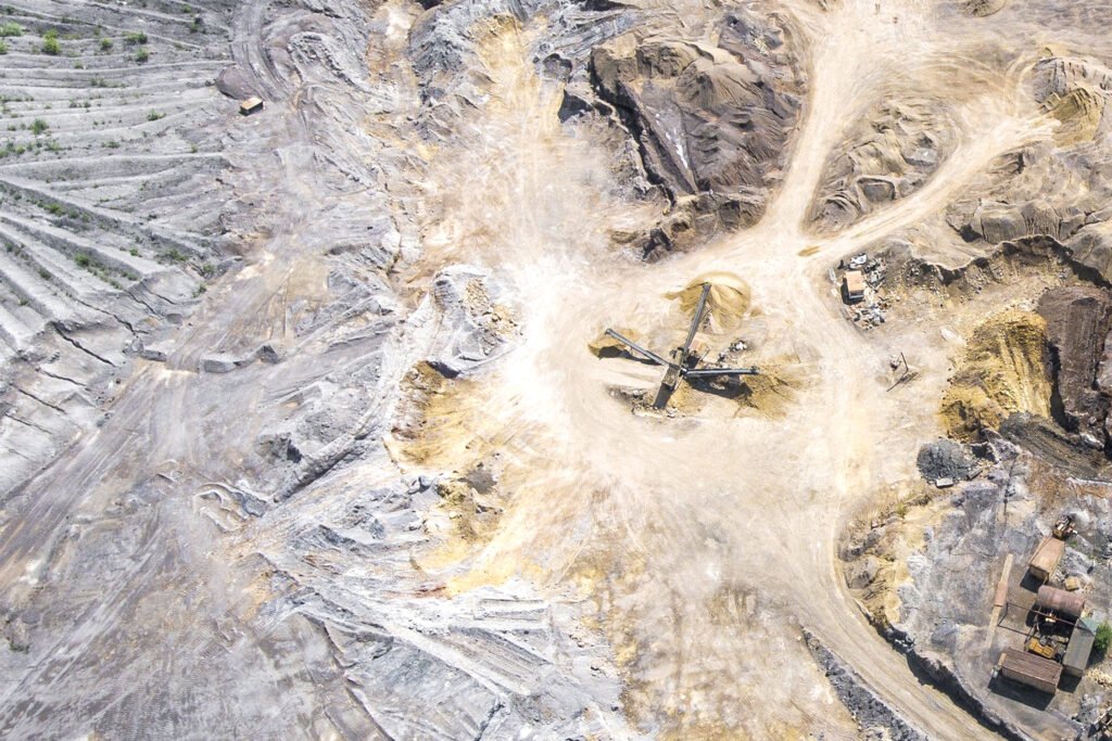
Automatic Monitoring of Geological Hazards

Automatic Monitoring of Geological Hazards

